Enterprise GIS & Spatial Data Infrastructure
We build the foundations that make spatial data reliable, accessible and useful.


iTechs GeoSpatial is an AI-native geospatial company built to manage and investigate insights. We design, deliver, and operate the systems that governments, defense organizations, and enterprises use to turn spatial data into decisions.
+25 Years
Delivering mission-critical geospatial systems
EMEA
Built in Egypt, serving a region
7 Lines
A full spectrum of geospatial capability
Secure
Sovereign systems for sensitive missions
Most geospatial problems are no longer maps but the architecture of decisions. We combine GIS, satellite data, GeoAI and domain expertise in one integrated discipline, so organizations can move from fragmented information to operational clarity.
From foundations in enterprise GIS to the new reality of AI-native geospatial intelligence, our work meets organizations where they are and helps them build what comes next.
Our principles
AI isn't bolted on. It is built into how we think, design and deliver.
Experienced teams stay close to the work and own the outcome.
Your data stays protected, governed and under your control.
Global standards and partnerships, delivered with local understanding.
We build capability, knowledge and systems designed to endure.
Capabilities
Seven lines combining the tools to grow intelligence — from the strategy through to mission-ready operations.
We build the foundations that make spatial data reliable, accessible and useful.
Advanced analytics that turn complex location data into practical intelligence.
Satellite insight for monitoring change, risk and performance at scale.
Mission-focused platforms for situational awareness and critical decisions.
Clear roadmaps that connect geospatial investment to operational outcomes.
Long-term support and knowledge transfer that strengthen your teams.
Proven platforms implemented around your needs, not the other way around.
Sectors

Better services and more informed public decisions.

Secure intelligence for mission-critical operations.
Visibility across networks, assets and field operations.
Planning and operating connected infrastructure.
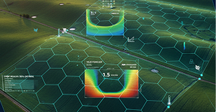
Monitoring land, crops and resources at scale.
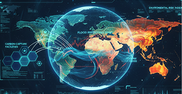
Earth observation for a changing world.
Our difference
Senior geospatial leaders. AI-native. Regional delivery scale. Defense-grade security. Esri Gold partnership. An integrated team with the range to meet complexity, concentrate on the real mission and deliver solutions that last.
The best programs are shaped before the tender is written. Talk to us at the strategy stage.
Talk to our team